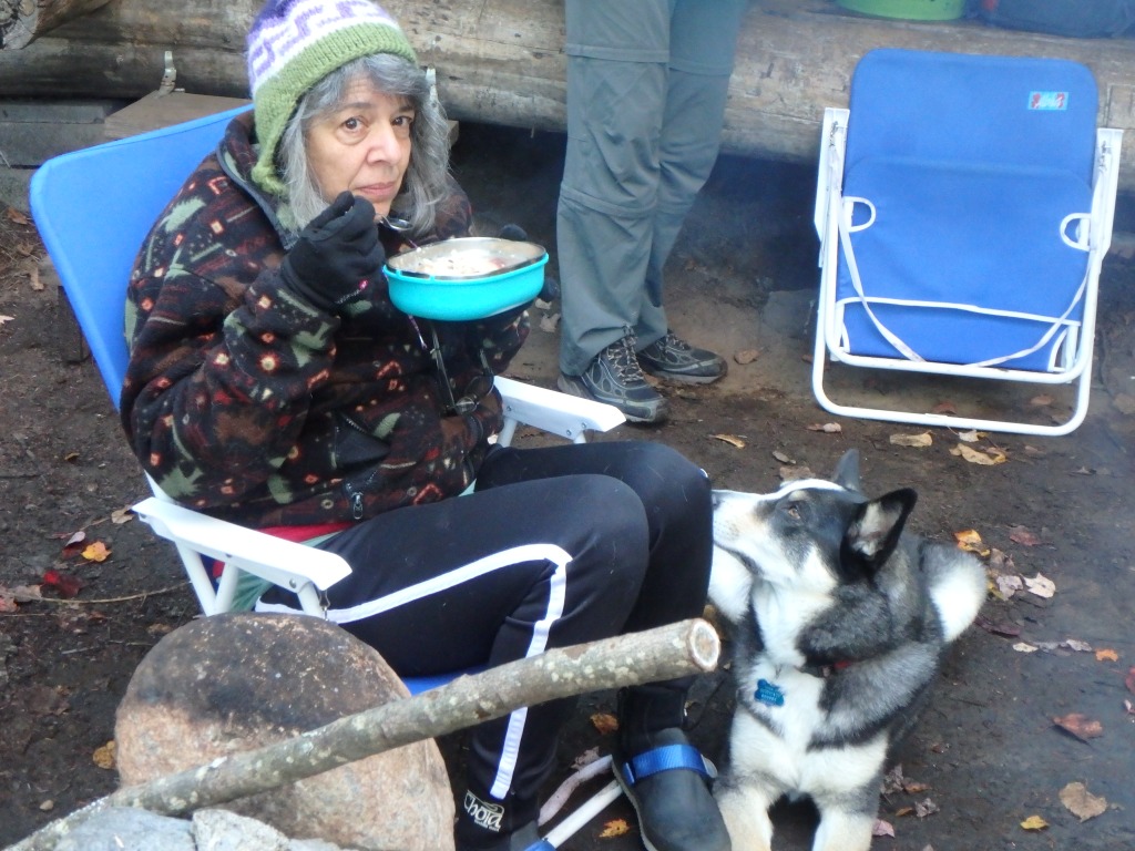
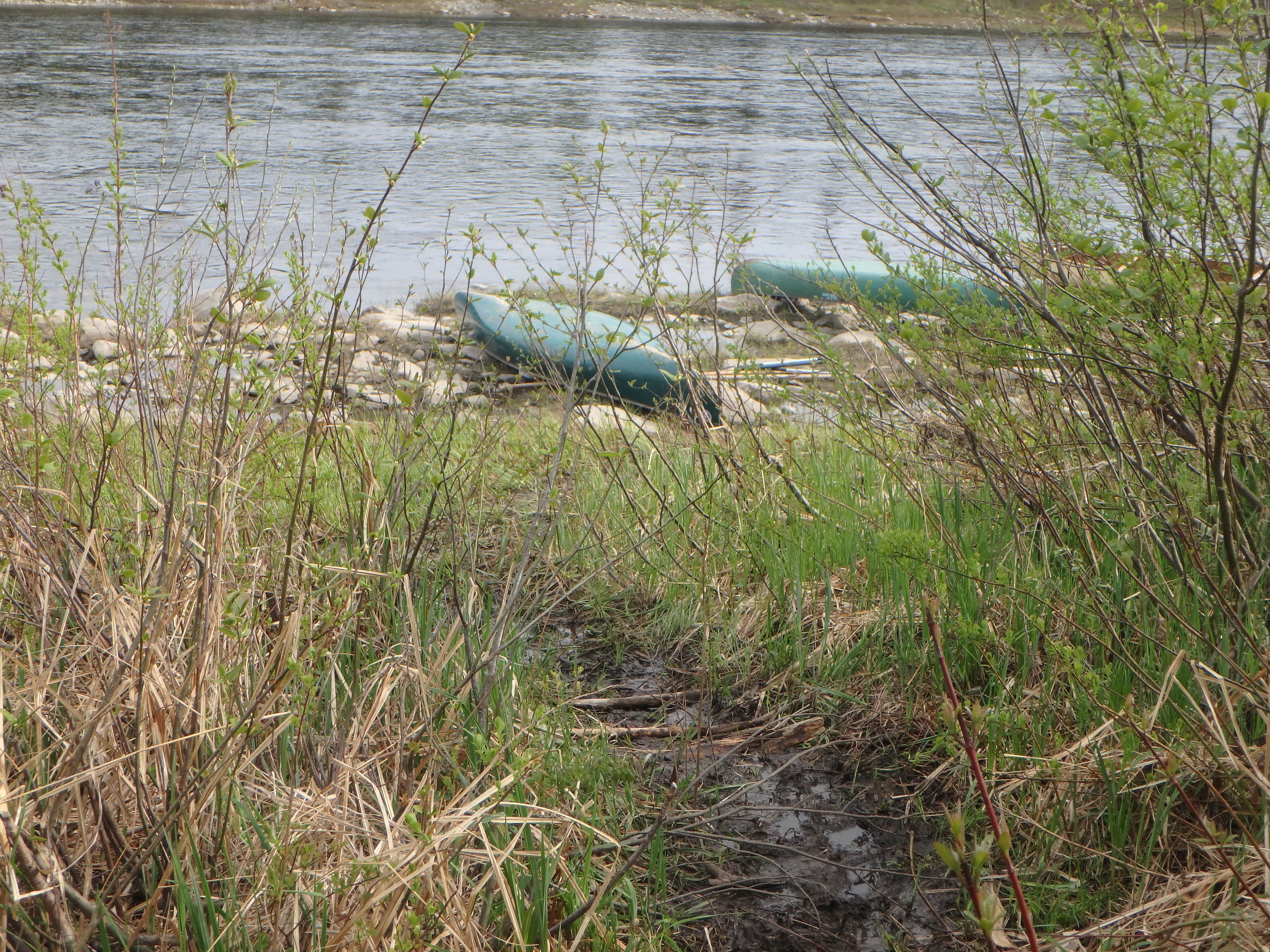
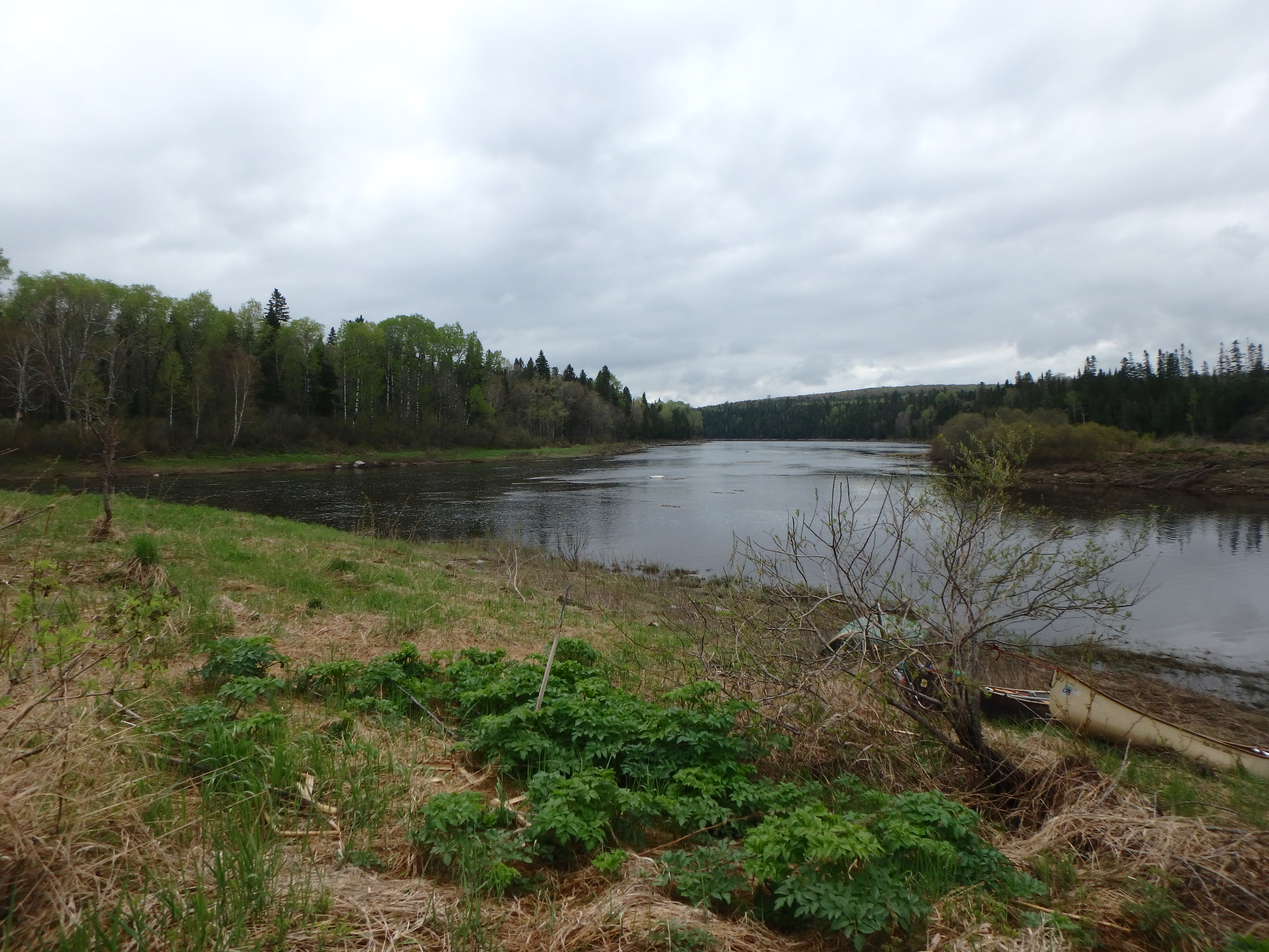
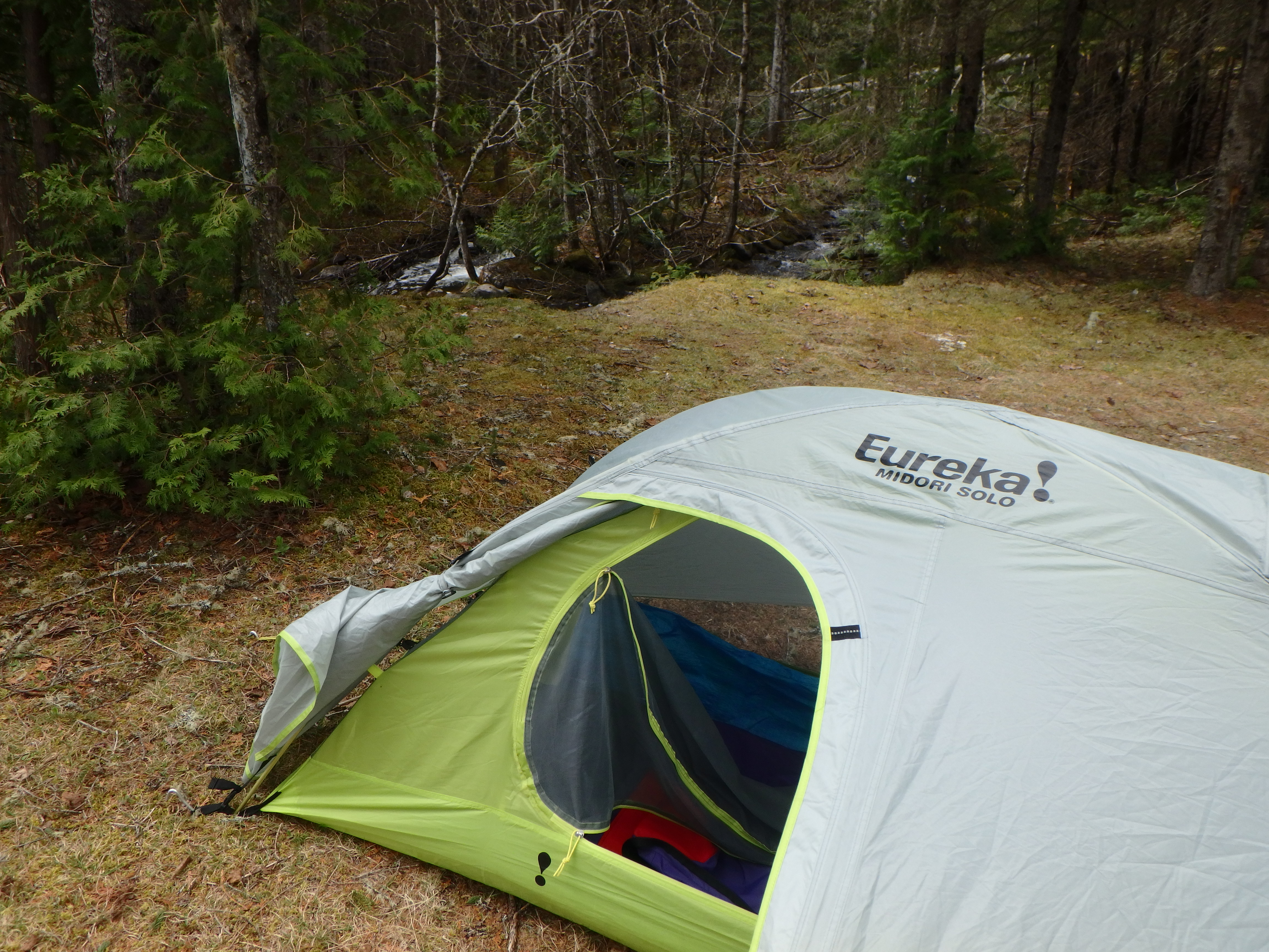
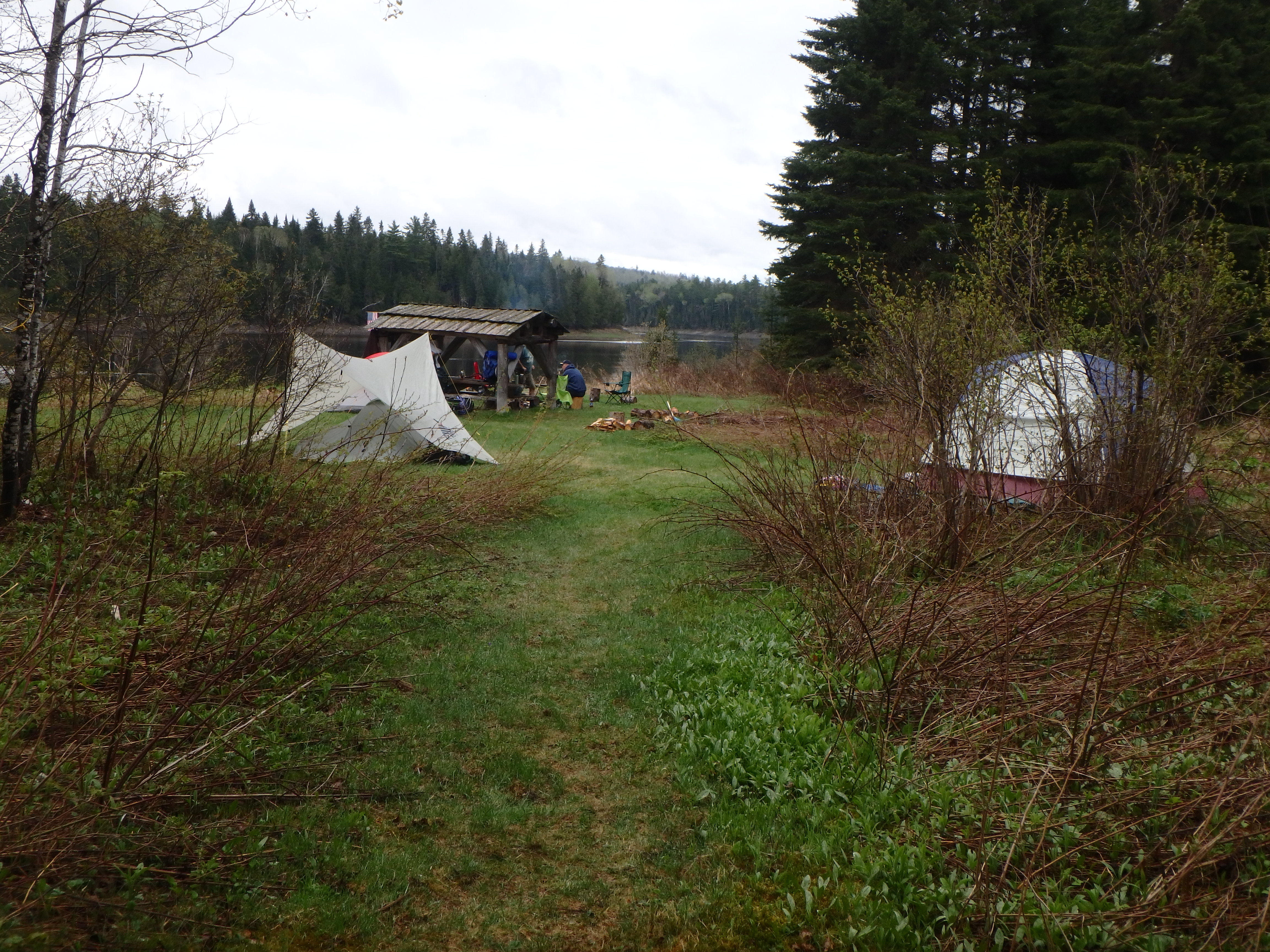
I woke up in the morning full of piss and vinegar and ready to go home! It was going to be a long day, and it was going to start with a bang, with Big Rapids lurking a couple miles downstream of us. If we made it through there without holding a yard sale, it was a mere 16 easy miles to Pelletier’s campground in St. Francis, where our vehicles all waited.
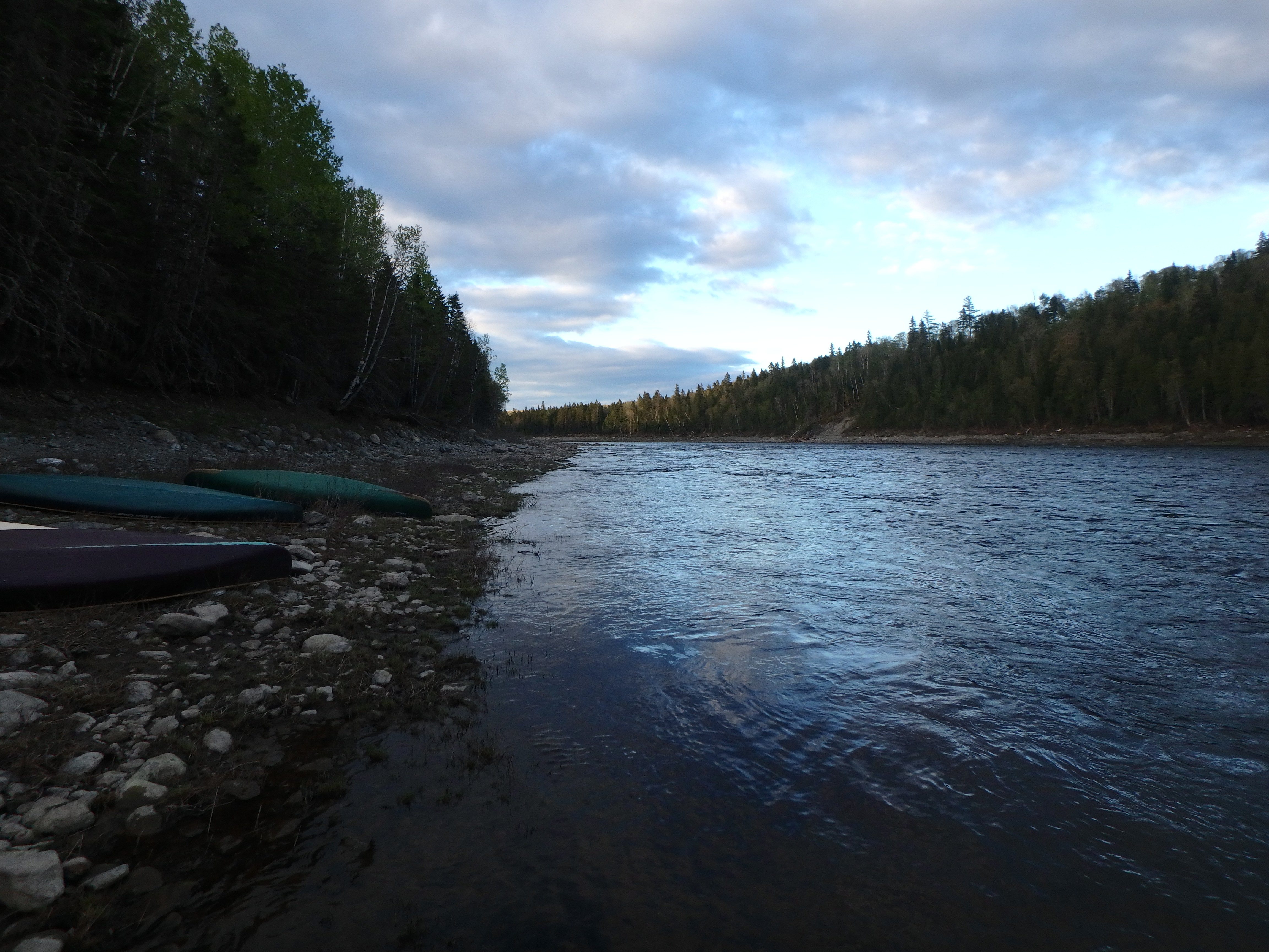
Breakdown of camp was a no nonsense affair, unless you count the nonsense of having to negotiate the muddy trail back to the river and our boats. I debated tying anything down in the boat since losing camping gear on this last day really wasn’t a big deal, but I’m not made of money so I decided that a few straps on the packs would be cheap insurance.
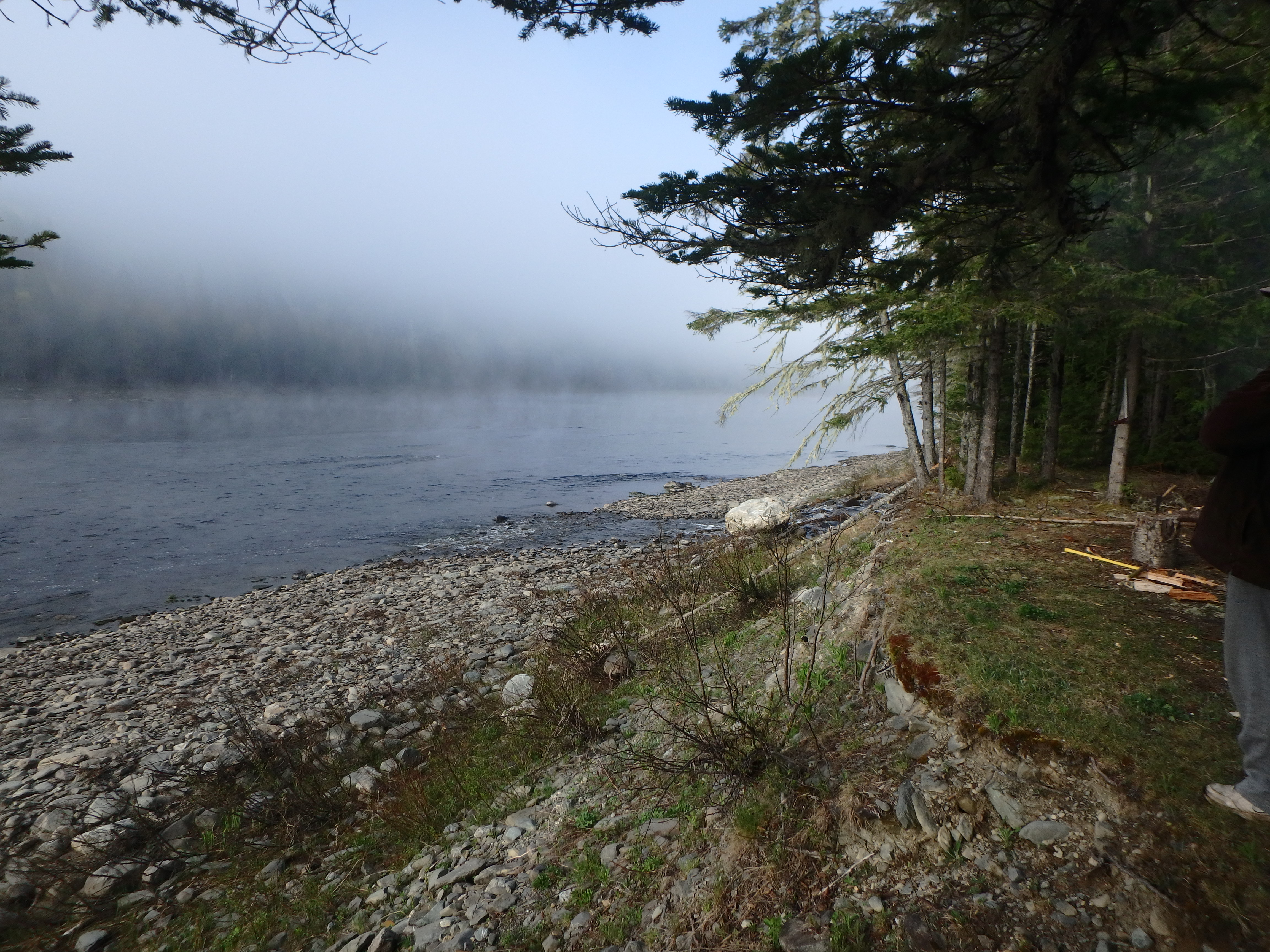
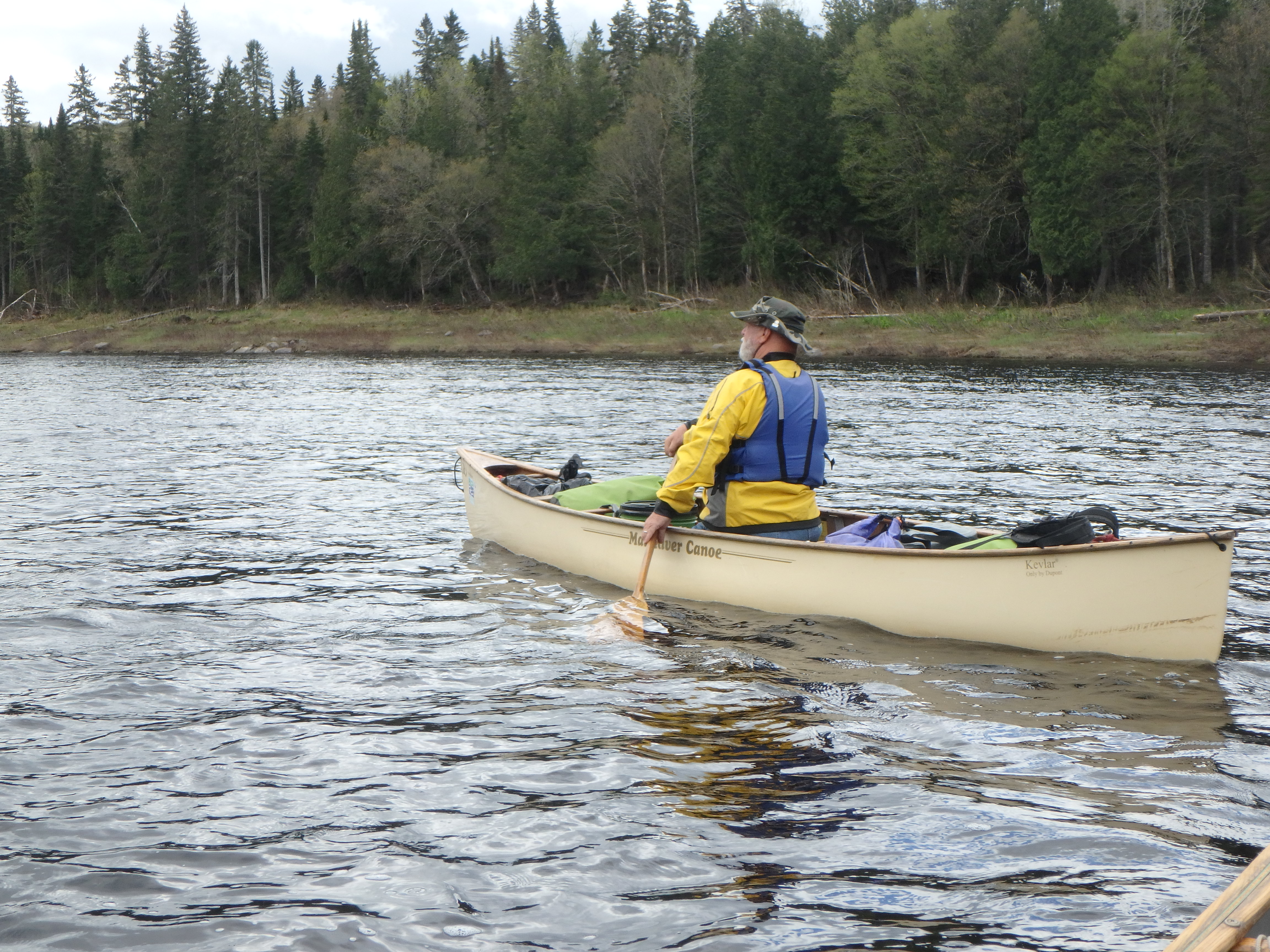
The day started out sunny with some scattered clouds, and not too chilly at all. The boat felt good in the water. I sensed no bad omens. Which is unusual for me, because usually when I’m ready to tackle a rapid in a loaded boat I’m usually a bit tense. Not panicked. Concerned. But not today. It was time to bring it.
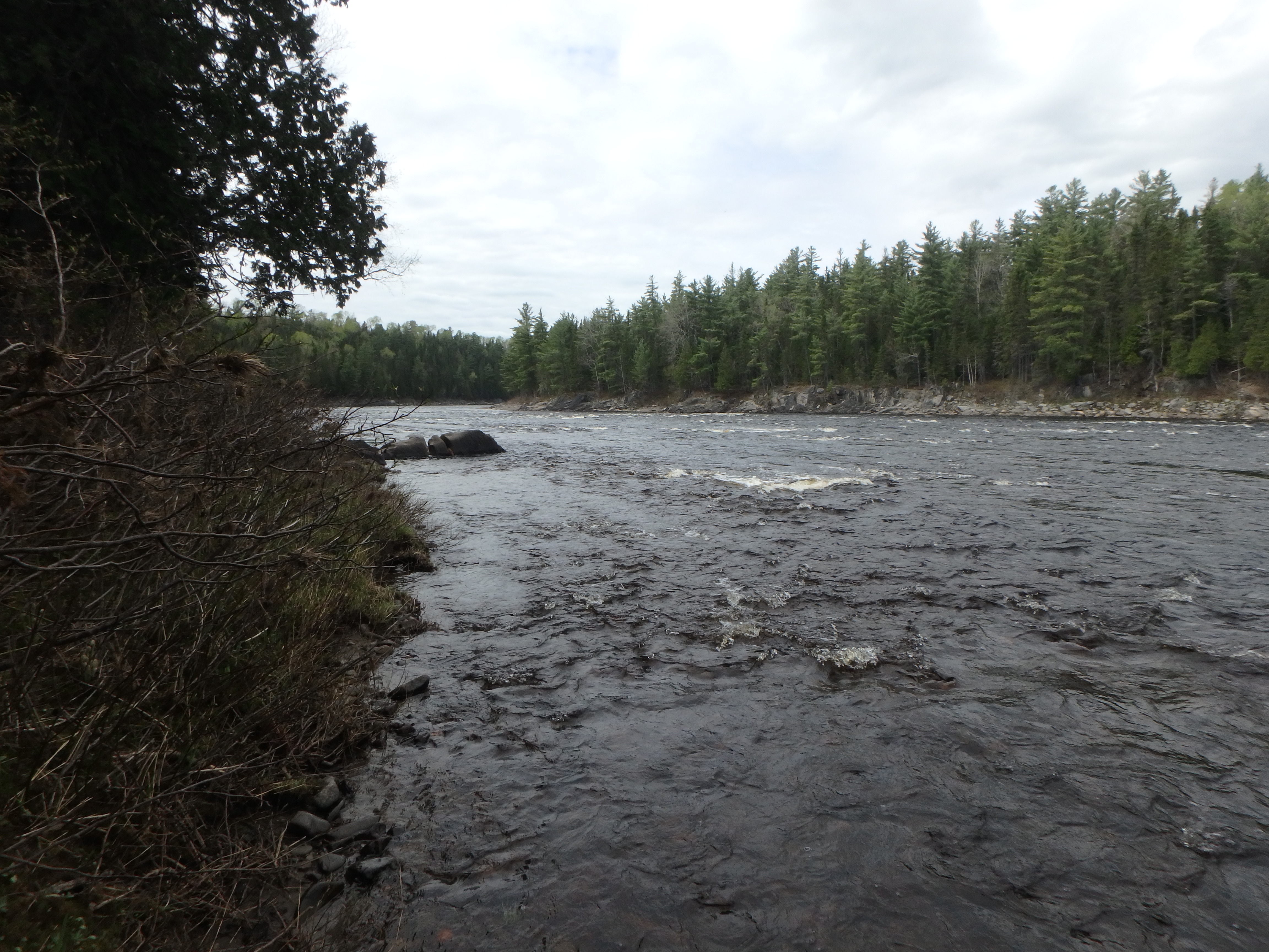
Before we knew it, we were passing what looked like a ranger station on river left, and making the big left turn to the head of Big Rapids. This was it! This was…ummm…is this it?
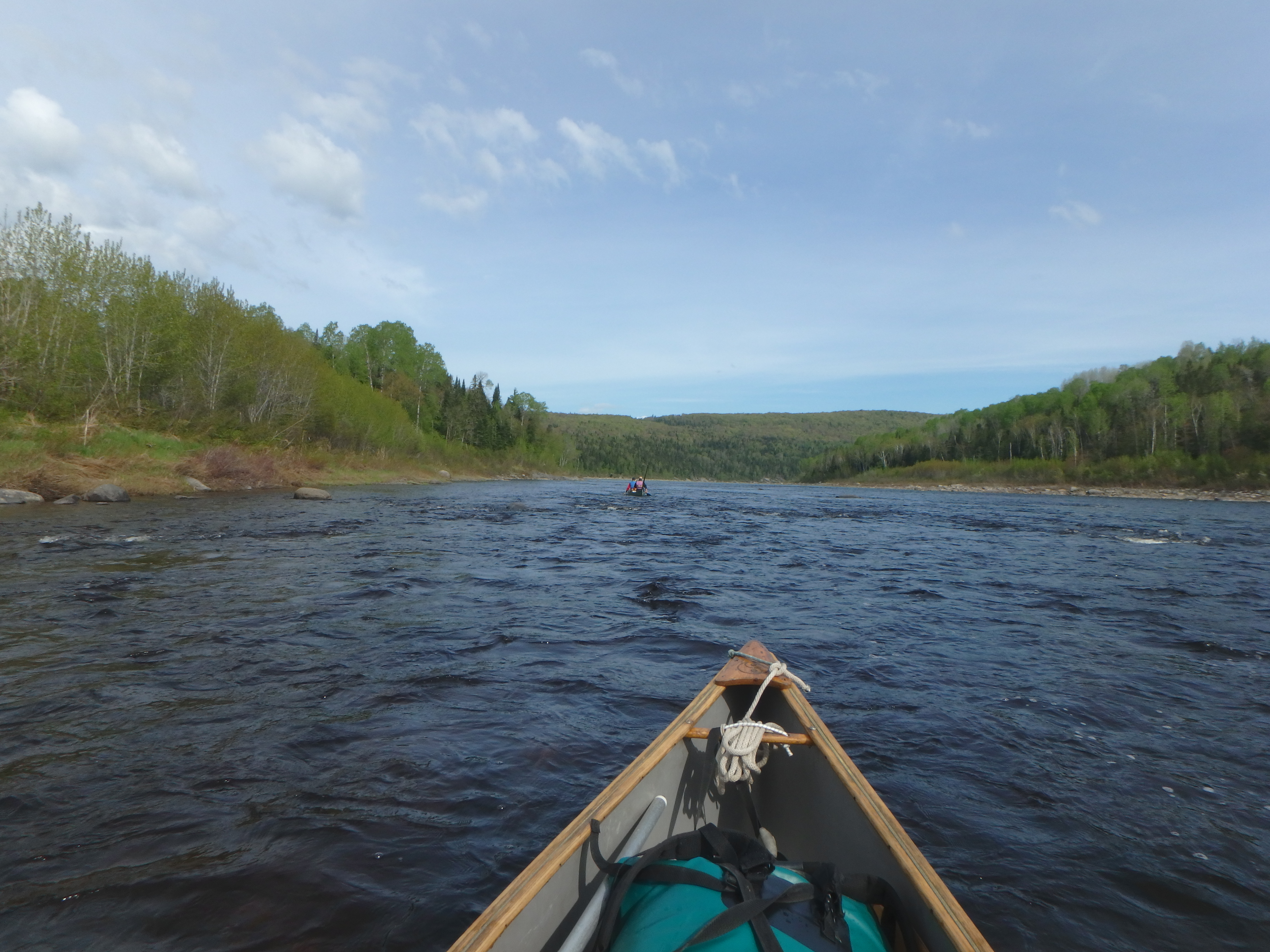
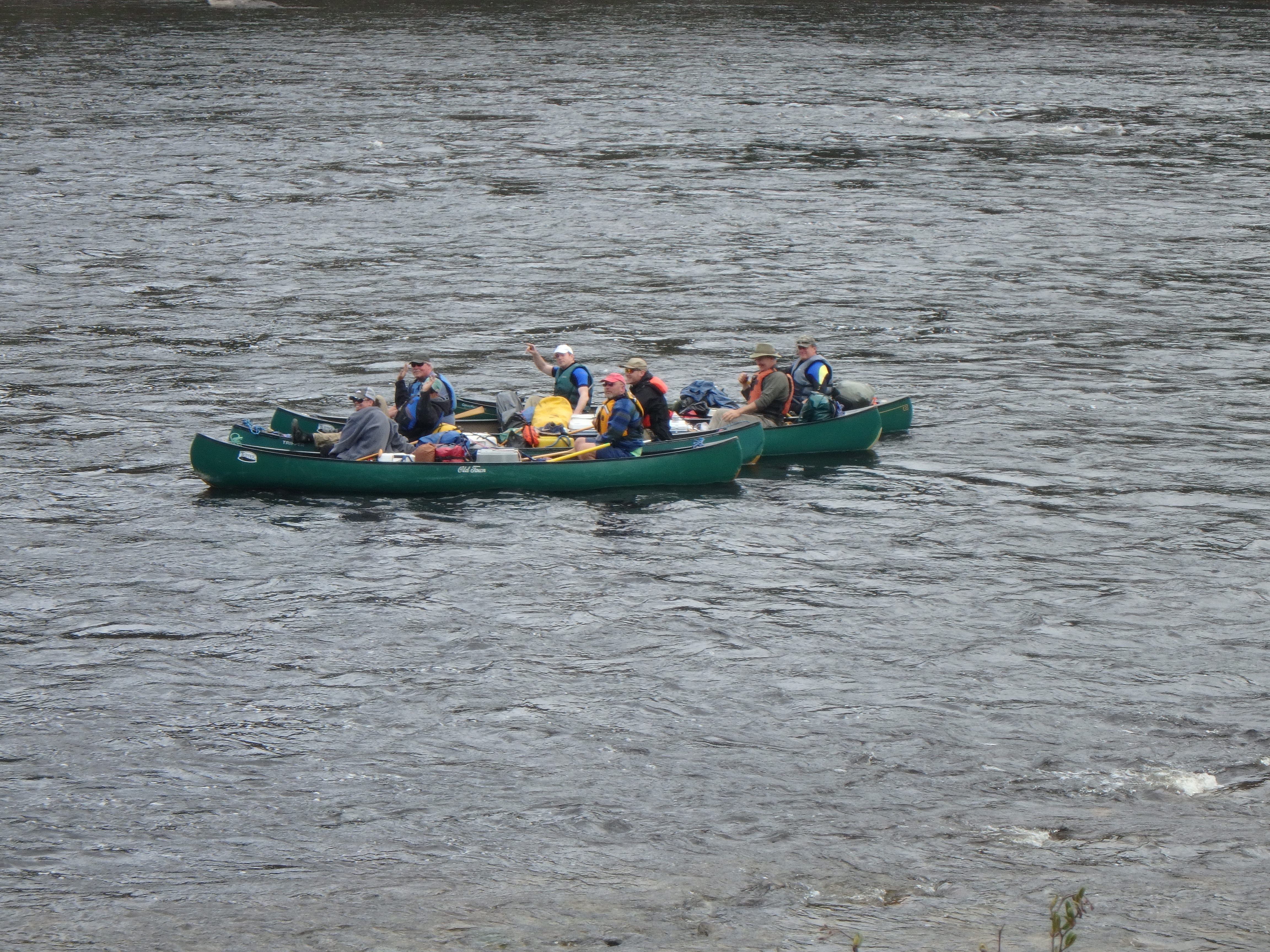
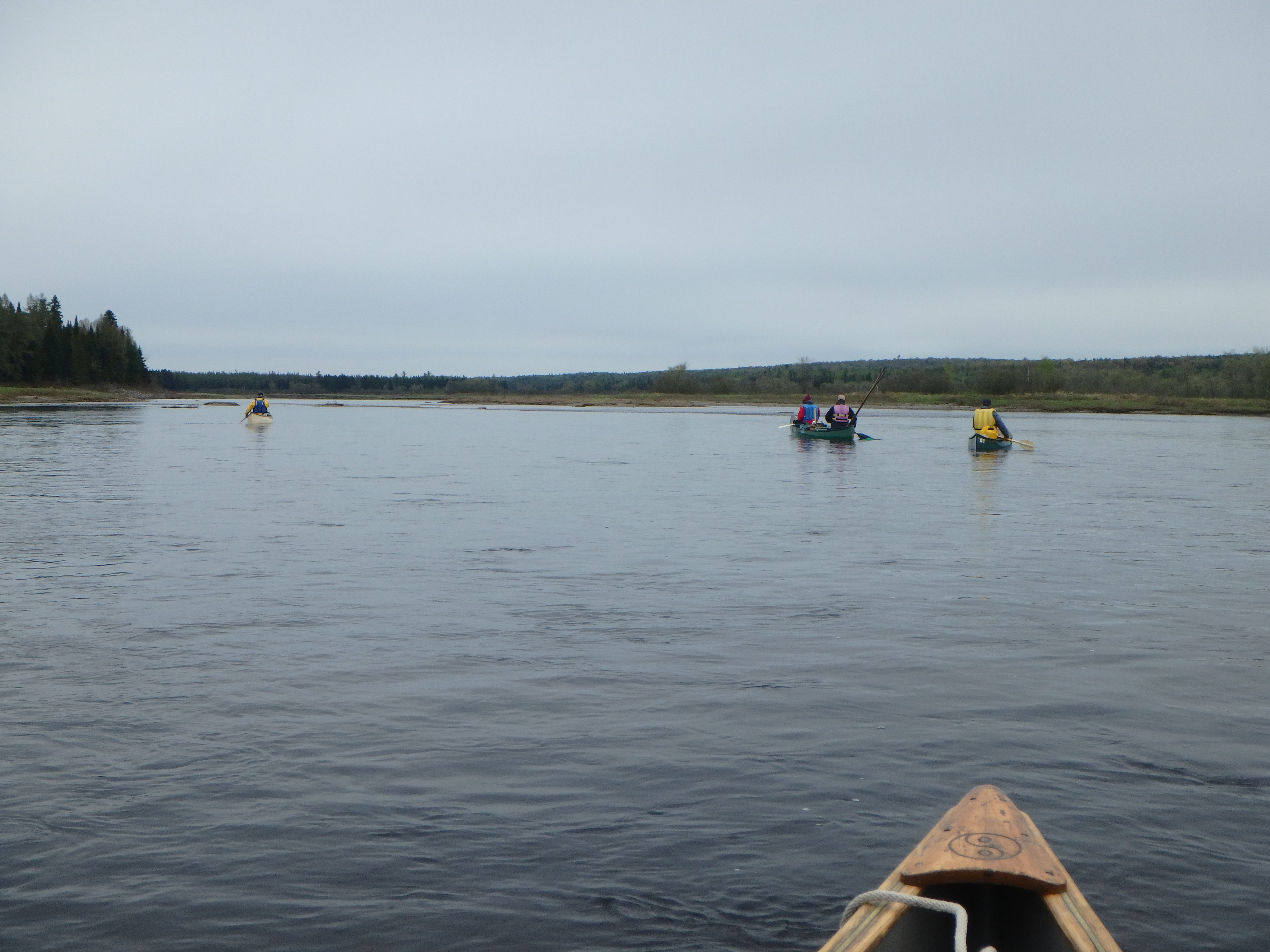
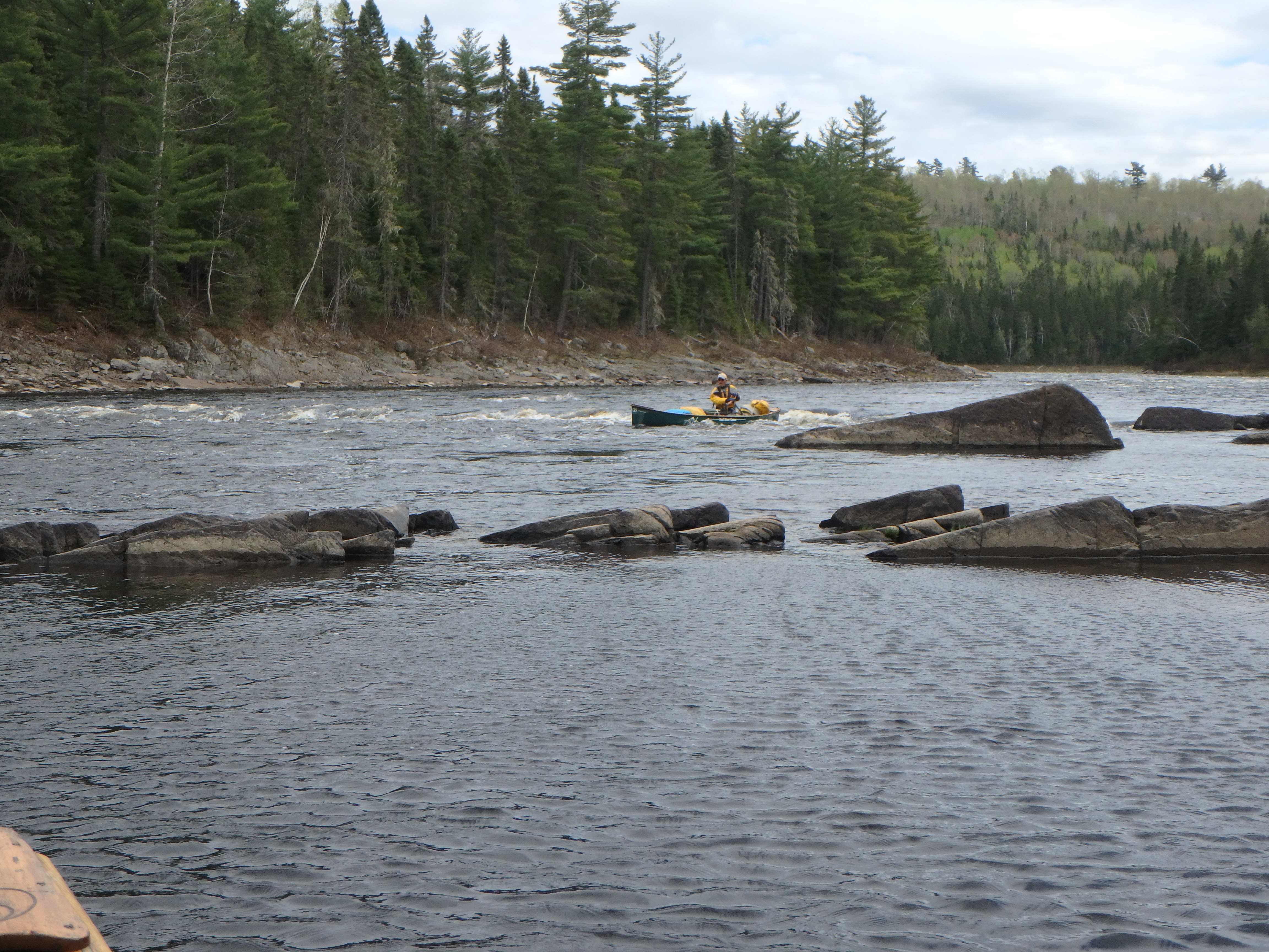
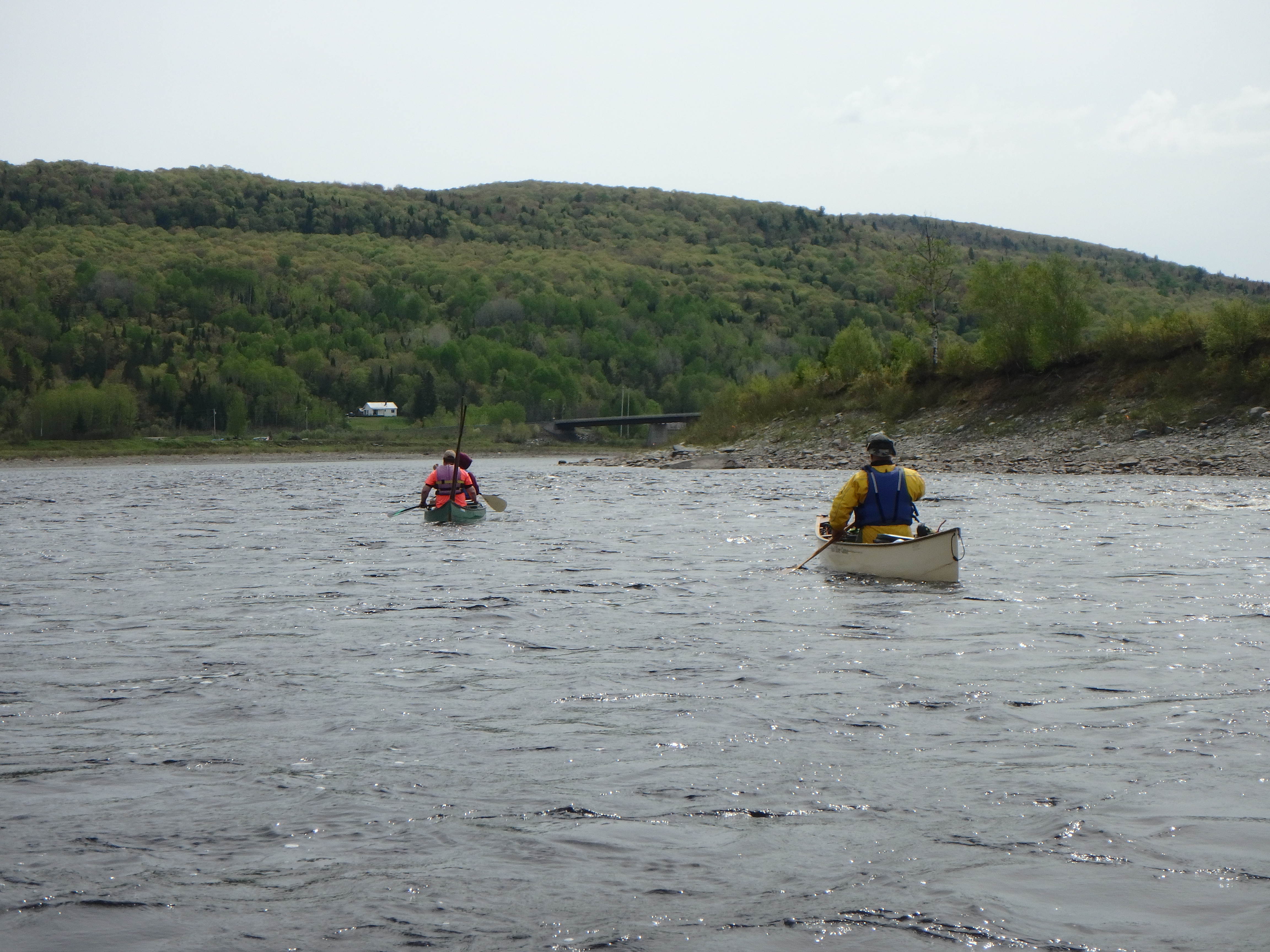
Keeping Kevin and Nick in sight as Big Rapid begins!
We entered Big Rapids and started looking for rapids…but it seemed to just be a lot of fast, swirly water with a few big rocks and a few small waves. We bounced though water like this for at least a half to three quarters of a mile.
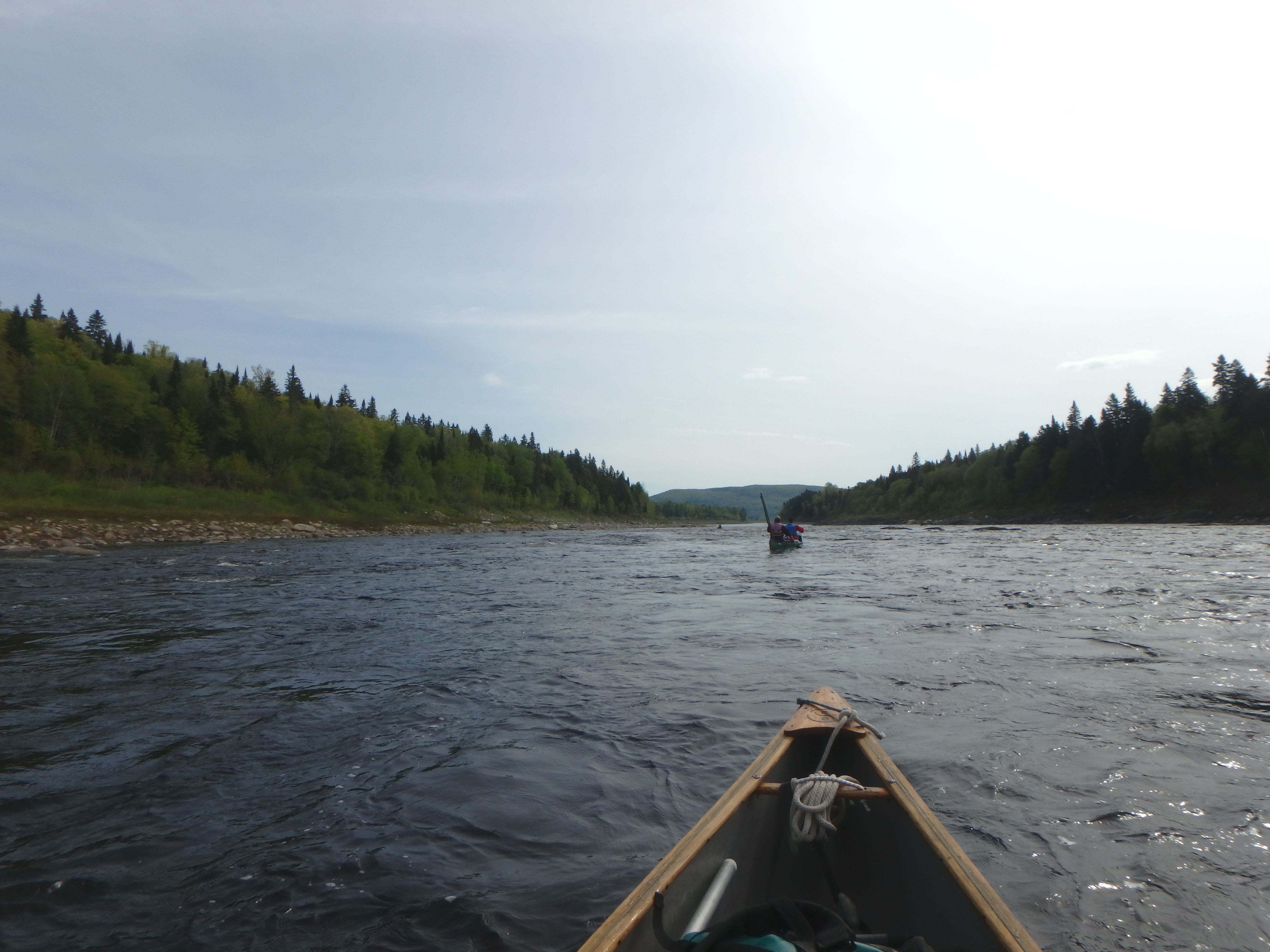
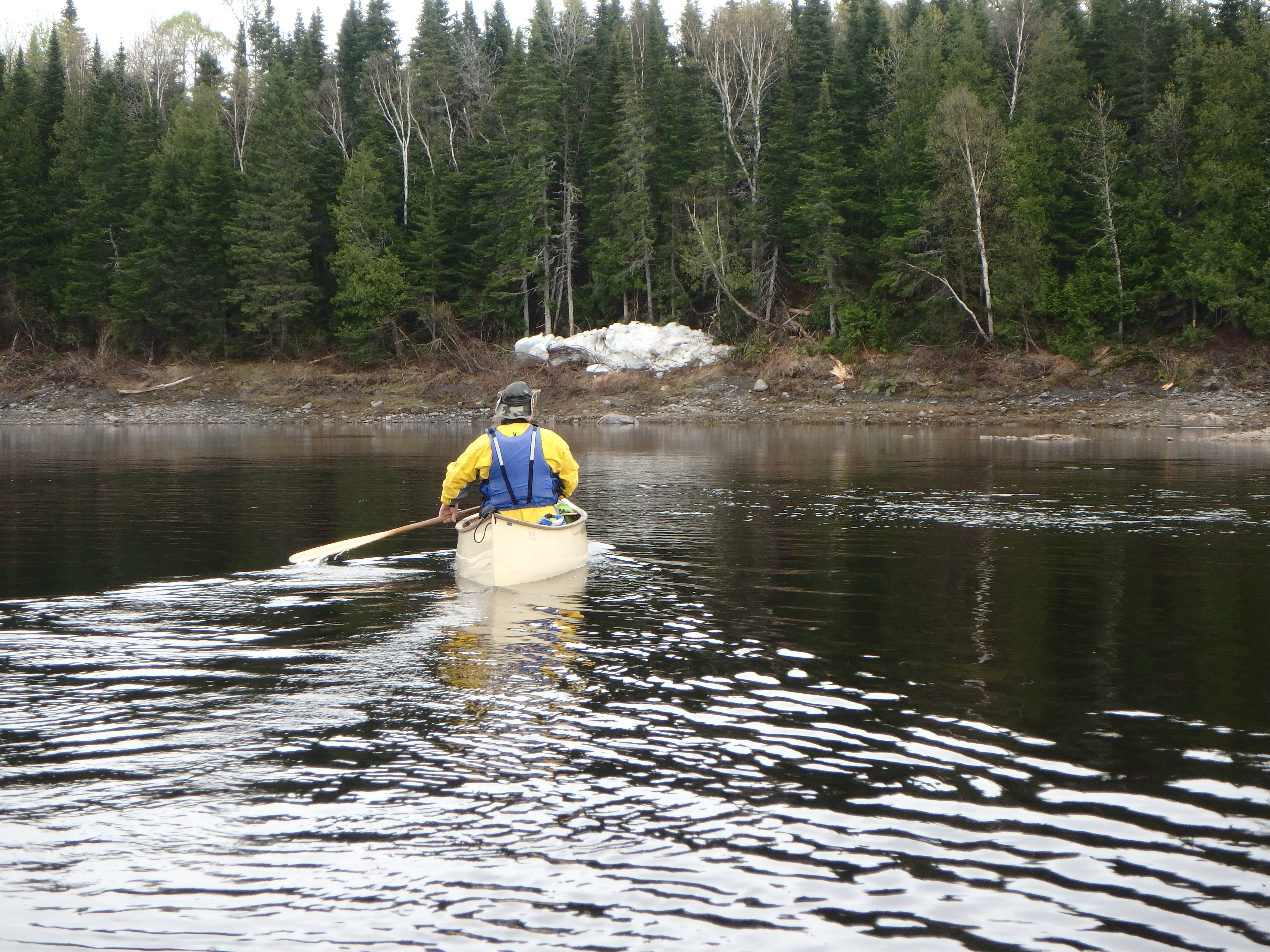
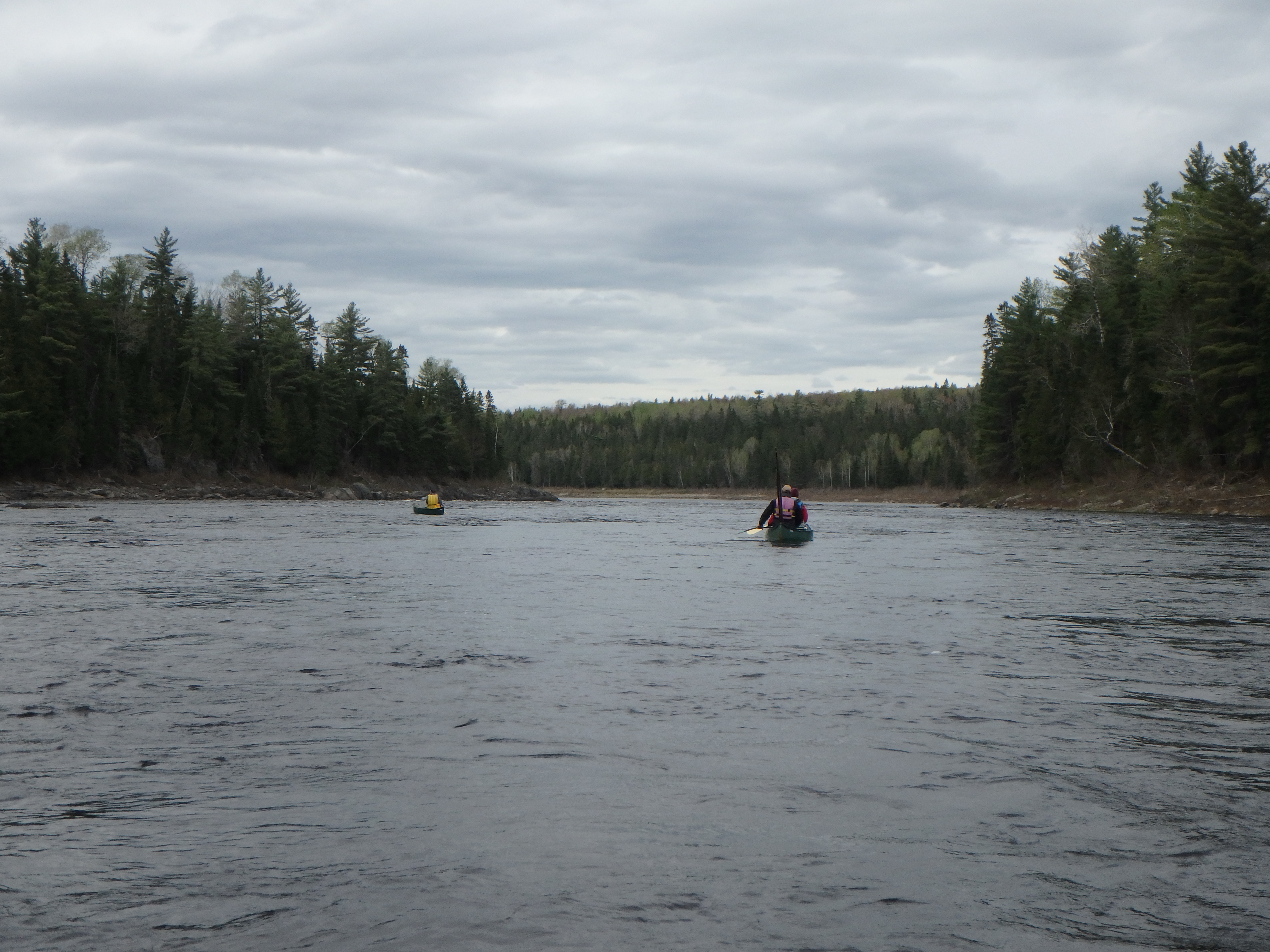
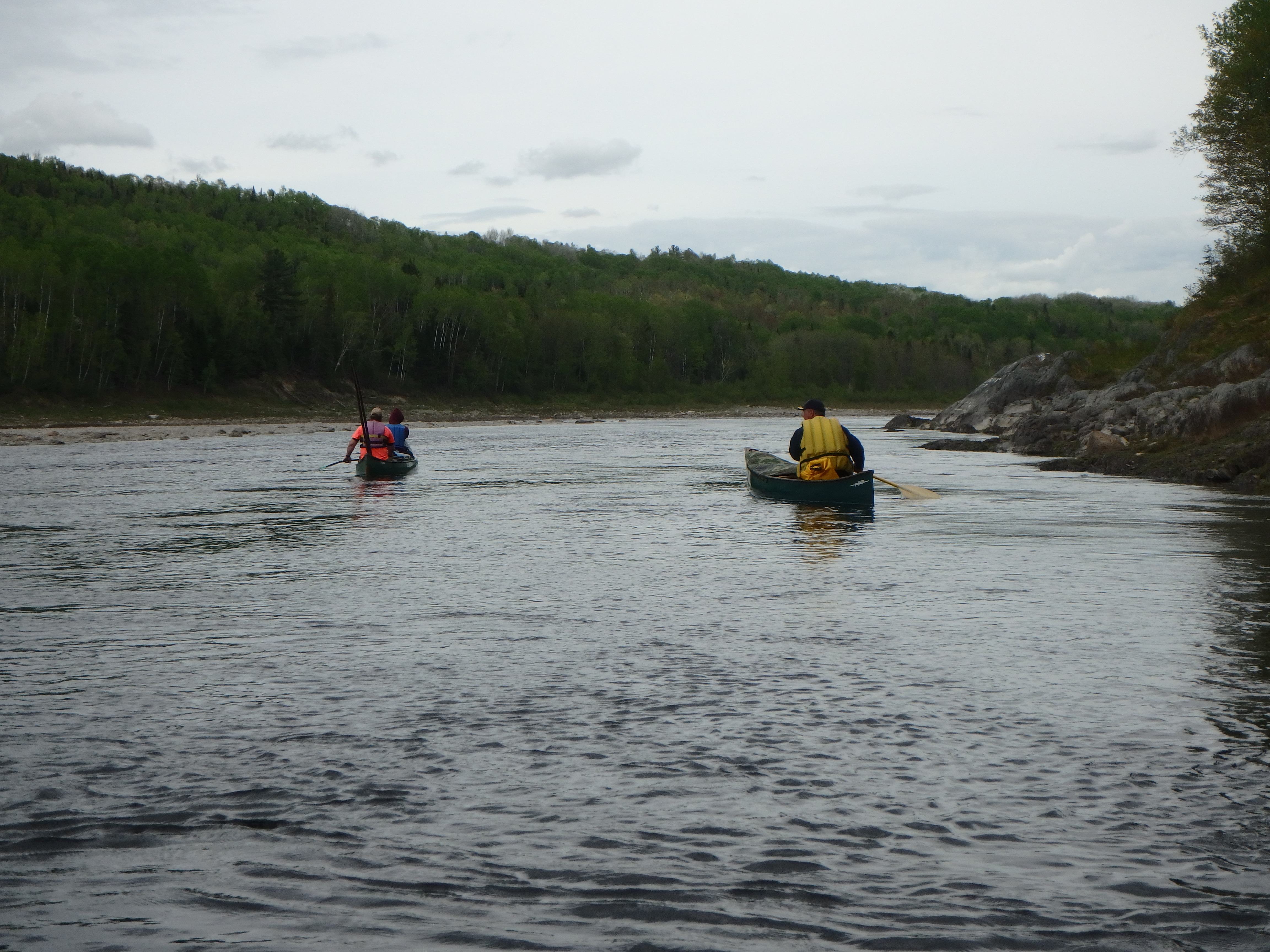
Kevin & Nick, and way in the lead…Mike probing the way.
Eventually, the water got a little bumpier, but there was little to be concerned about at this water level, which was probably a medium low level by now with the dropping water levels. Way in the distance, I saw Mike turn around and heard him give what sounded like a heads up. Then he seemed to drop about two feet very quickly. OK, here we go!
I could see the river start making a right turn, and I knew from previous accounts of boaters that had gone before us that this marked a point where the river got noticeably steeper and the wave bigger. At the very least, before we got there, the rapid had finally worked itself up to a respectable Class II, but the rocks were generally easily spotted and handily dodged. We started entering the curve, and then things got busy.
The river visibly started to slope steeply, and I seemed to be looking down a hill of rocks and froth. But so long as I kept track of where Nick and Kevin were going, who in turn were trying to match Mike’s moves, I found maneuvering from channel to channel to be more than manageable. And then we were really in it, and I found that I could only vaguely keep track of where Kevin and Nick were headed as I spent most of my brainpower scanning the stretch of river within 20 to 30 feet of my bow. It was read and react…dodge the rock or eat the rock…jam back with the paddle on the right, turn right, draw right, switch sides, jam left, two strong forward strokes now! Woah, that was close…glance up quickly, where the hell is Kevin going? Oh crap, I missed that channel! Weave left, forward stroke, draw right, right, YOUR OTHER RIGHT! Merde! OK, bounce through the wave train between the boulders, draw left again to the next channel, take a breath…hey, things are slowing down, I think we made it! I see Kevin raise his paddle and shout, so I do the same. Whooee!
Oh crap, its not over, one more nasty stretch before the bottom, man this rapid won’t end! I see a line of rocks marching into the river from the left bank, so I start heading center, glance off a rock, slide over it in stride, dig, dig, dig, OK, I see the route to the bottom, just need to dodge a few dozen more rocks, no sweat!
After what seemed like 15 long minutes of dealing with whatever the river threw at me, I got spit out of the bottom and headed left into the eddy to join Mike, Kevin and Nick in celebrating our clean runs! Jim and Doug soon joined us, having also successfully run the gauntlet. Big Rapid was checked off in our books!
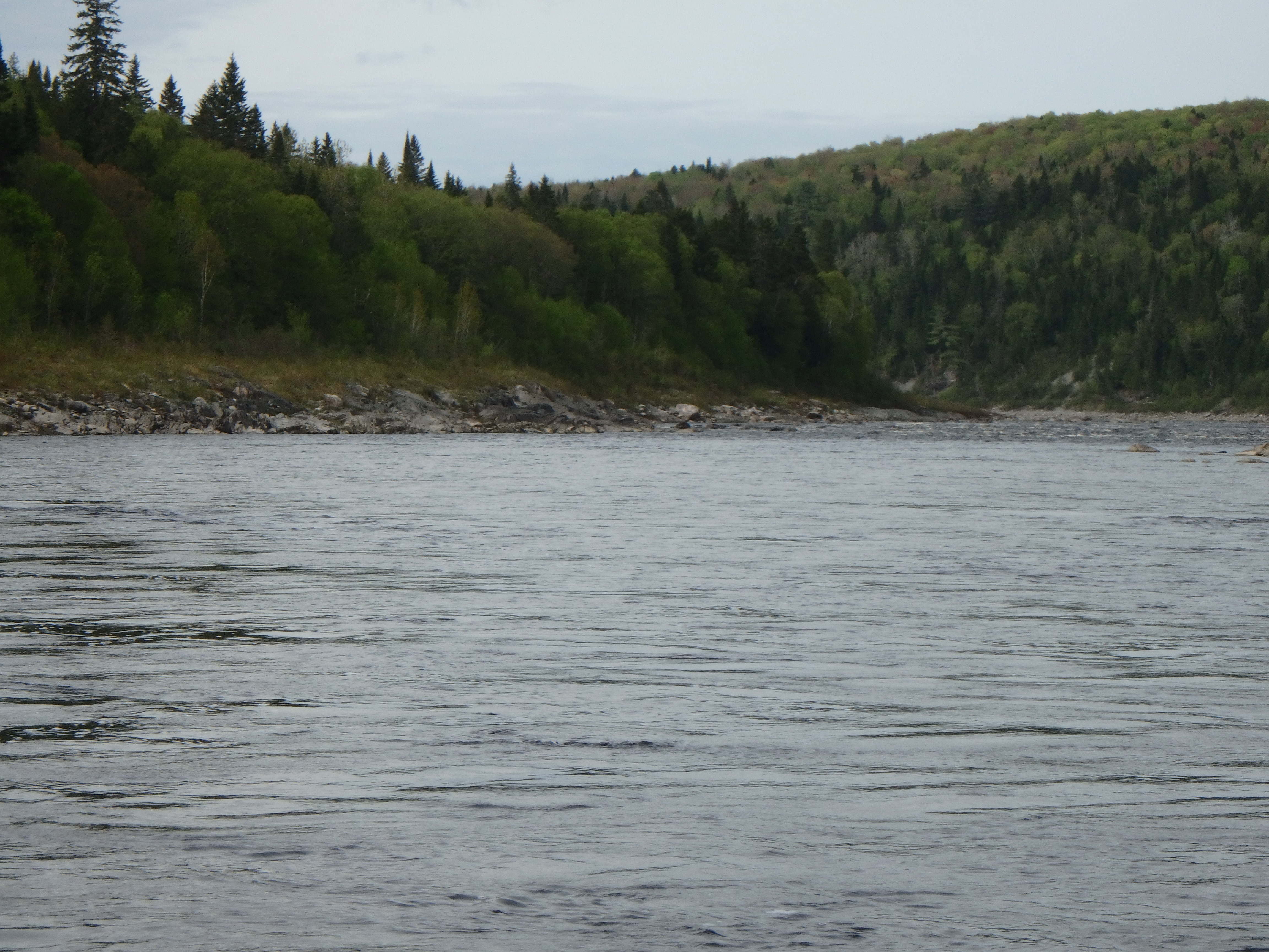
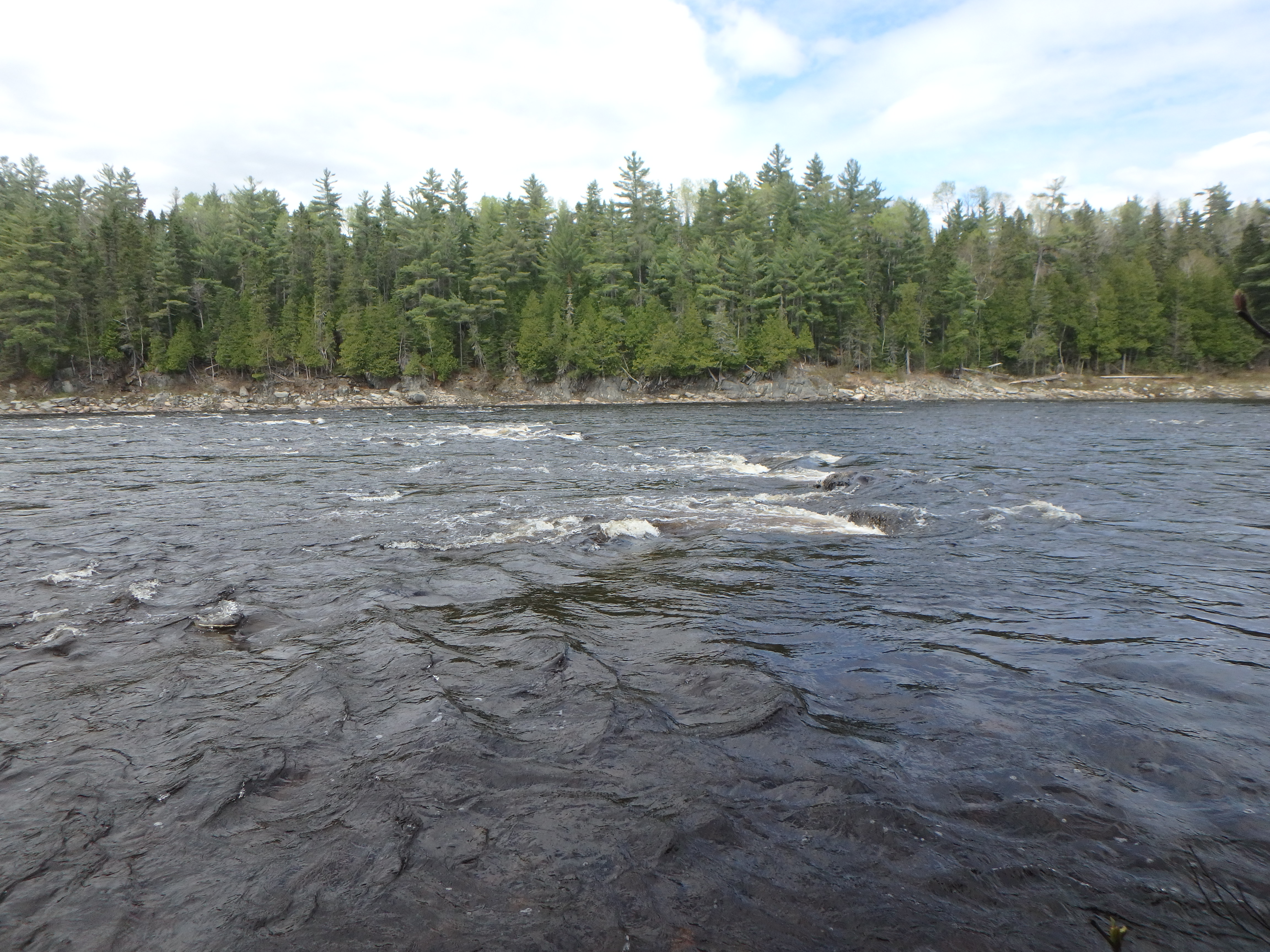
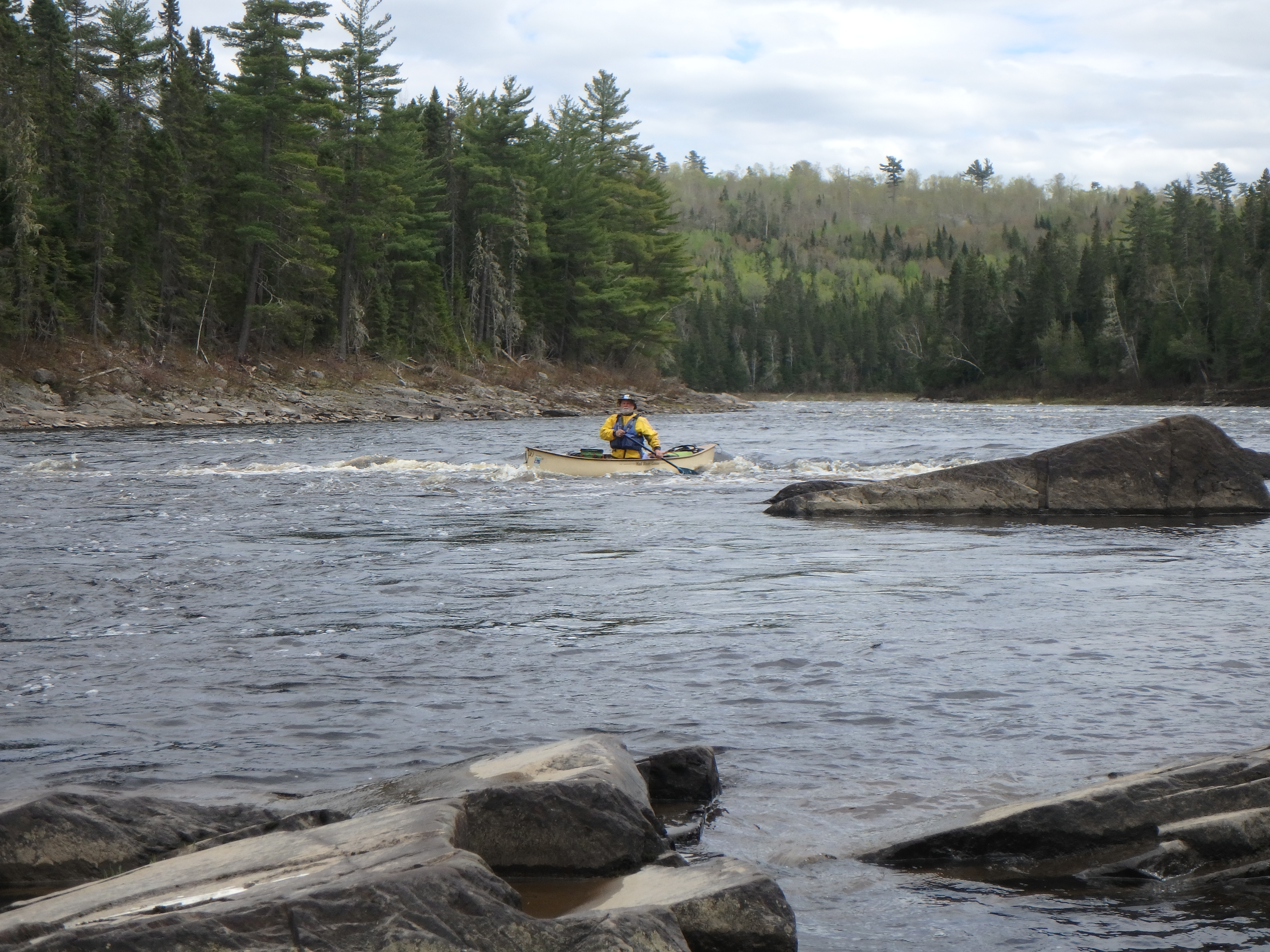
Looking upstream from the eddy at the busy bottom of Big Rapid.
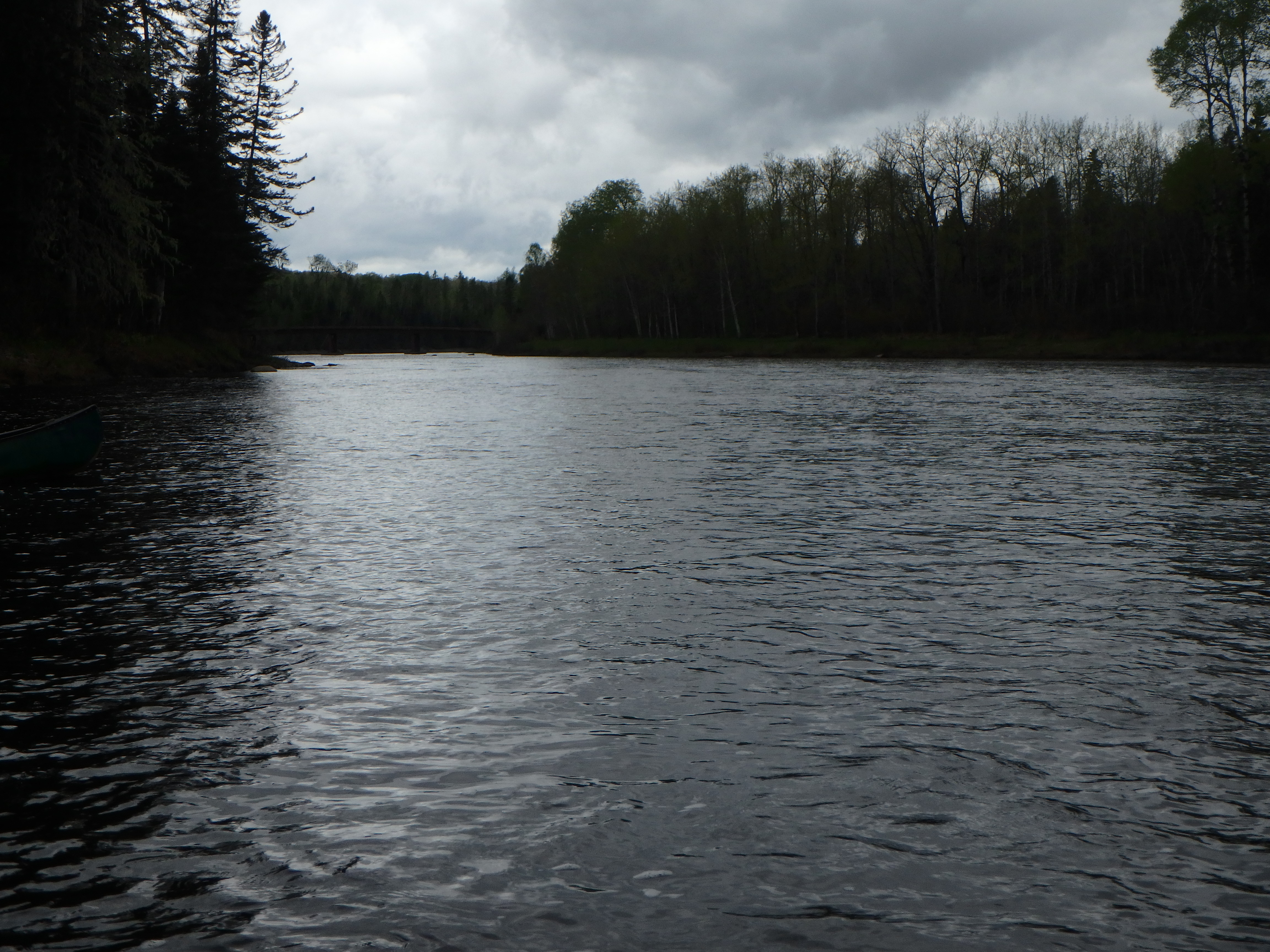
So that was it. As far as I was concerned, the St. John trip was over. From here, it was just a day trip to our take-out, and most of it I had already paddled. It wasn’t long before we came into view of Dickey Bridge.
Dickey Bridge comes into view.
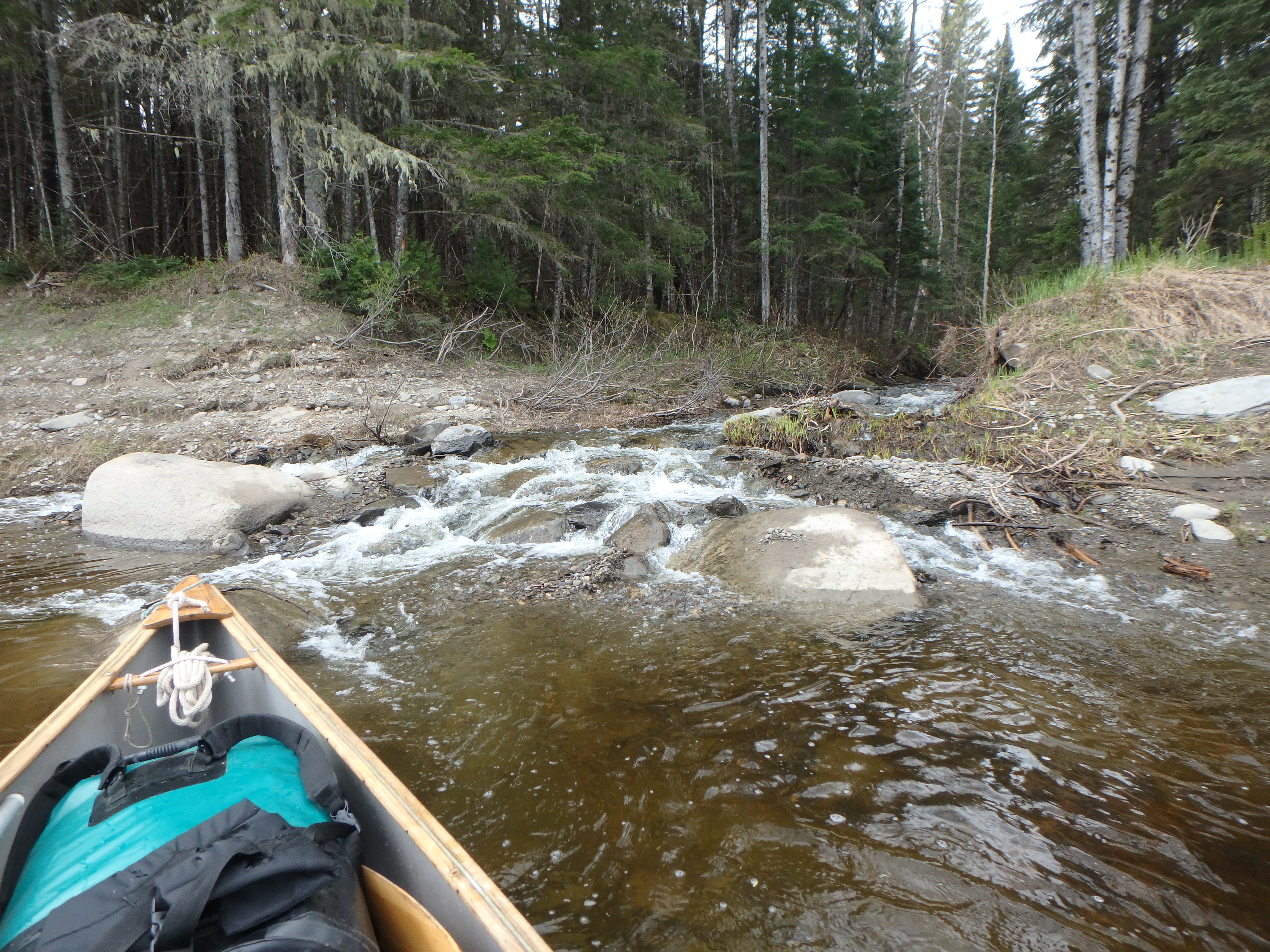
It was above this bridge that we discovered that the rest of our day wasn’t going to be just a mere float trip. Sand and gravel bars were starting to form, so we had to pay attention to where the flow was going in order to pick the right channel.
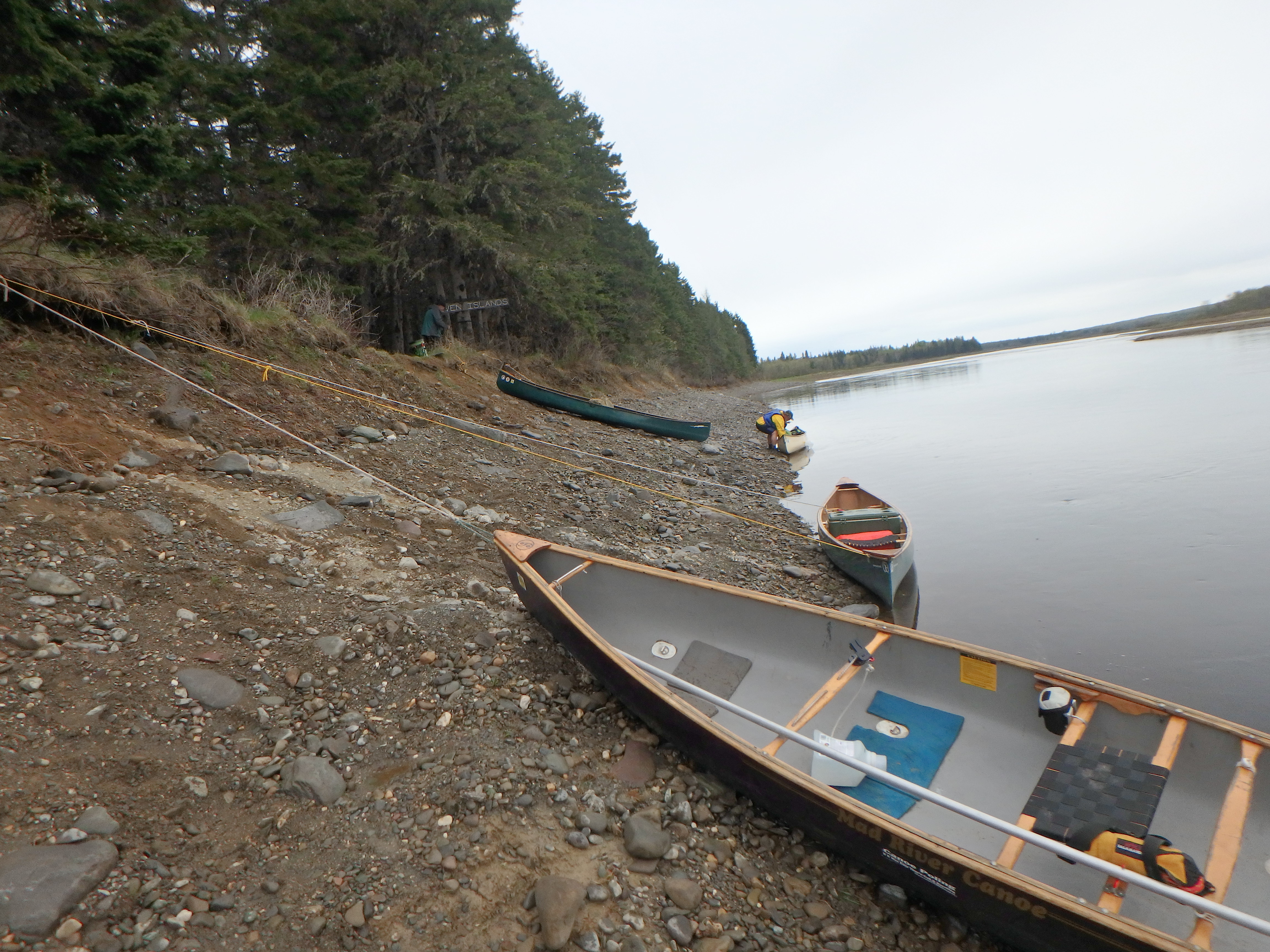
Past Dickey Bridge, we pulled over to another take out to see if we could walk up to the store. Doug and I walked up, where we found the store was closed. Damn.
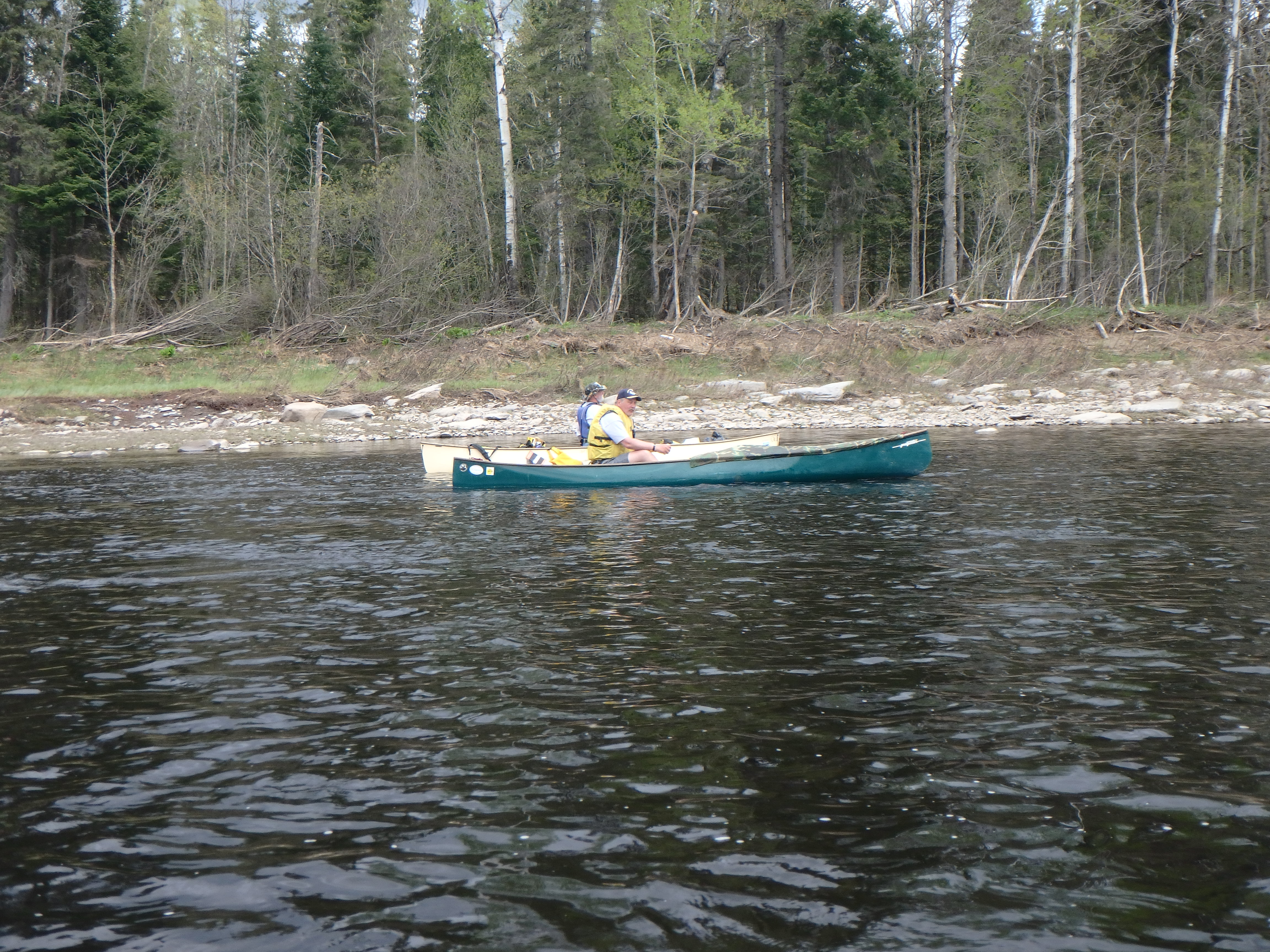
Onward and downward! Skies had clouded up, but it was still warmish and pleasant to paddle. A few miles further on, we passed the mouth of the Allagash and I was back into familiar territory, having passed this way almost 4 years earlier with Mike and Jim and some others. For the most part, we remembered which channels would have enough water and which would not.
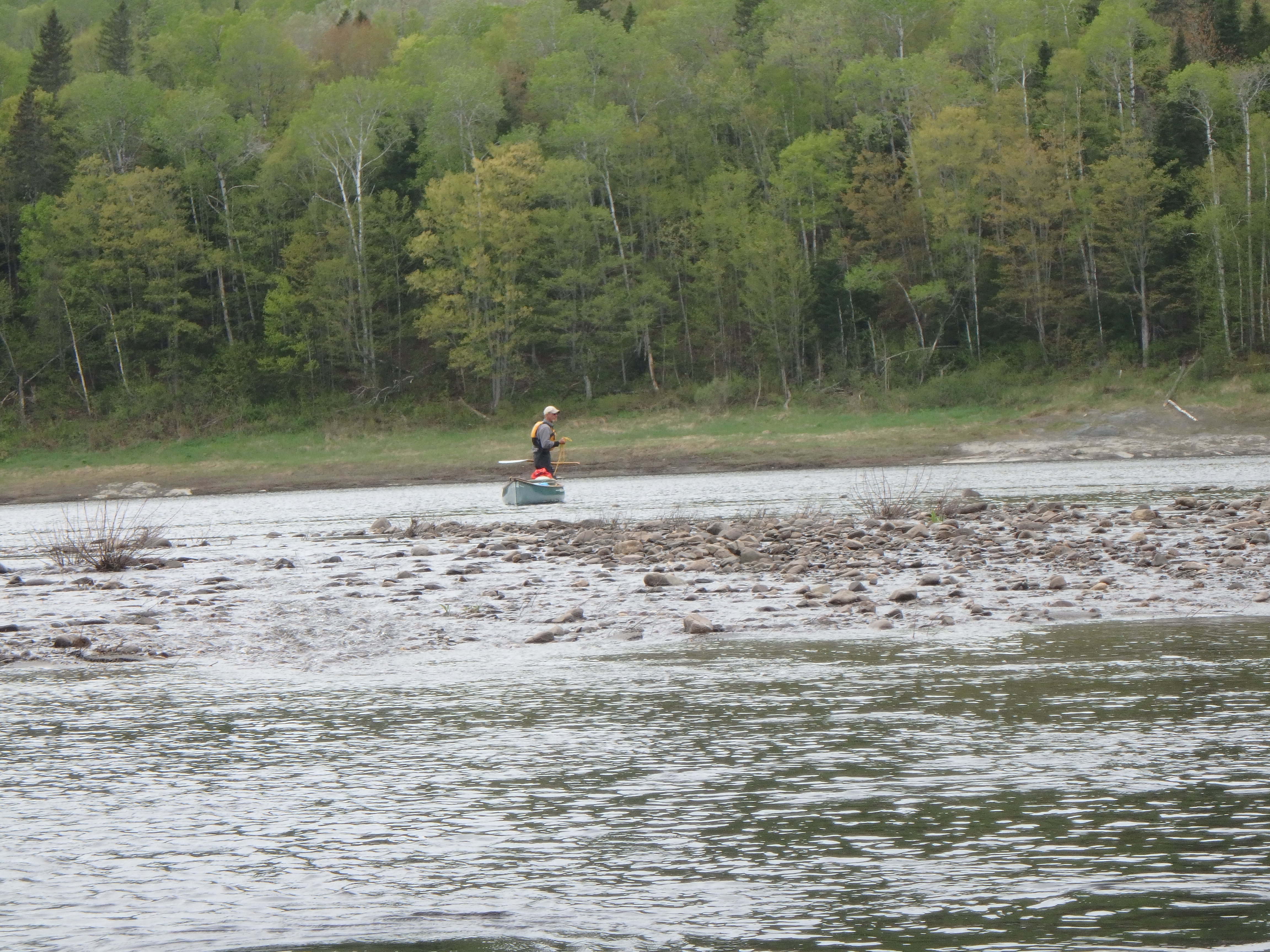
Staying right while the river filters itself through shallows on the left.
Most of us bottomed out briefly at one point or another, but Doug really got himself grounded in one of the braids. As Norm L’Italien is fond of saying, “The river, she’s a mile wide and an inch deep!”
Doug hikes the river.
The miles fell away under our hulls. Cross-Rock Rapid, Golden Rapid, Rankin Rapid…after Big Rapid, these weren’t much of an obstacle. One more big bend to the right and we saw the orange barrels and log shelters of Pelletiers and pulled out on river-right. As tradition dictated, Nick and Kevin took a plunge into the river to celebrate the end of another great father-son wilderness experience.
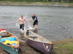
Water fight!
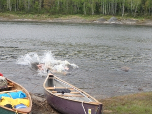
The Final Plunge!
All that was left was to pack and drive home. It was a phenomenal trip, and one I hope to repeat someday. A true Northern Forest Canoe adventure, traveling though both the wilderness and through history.
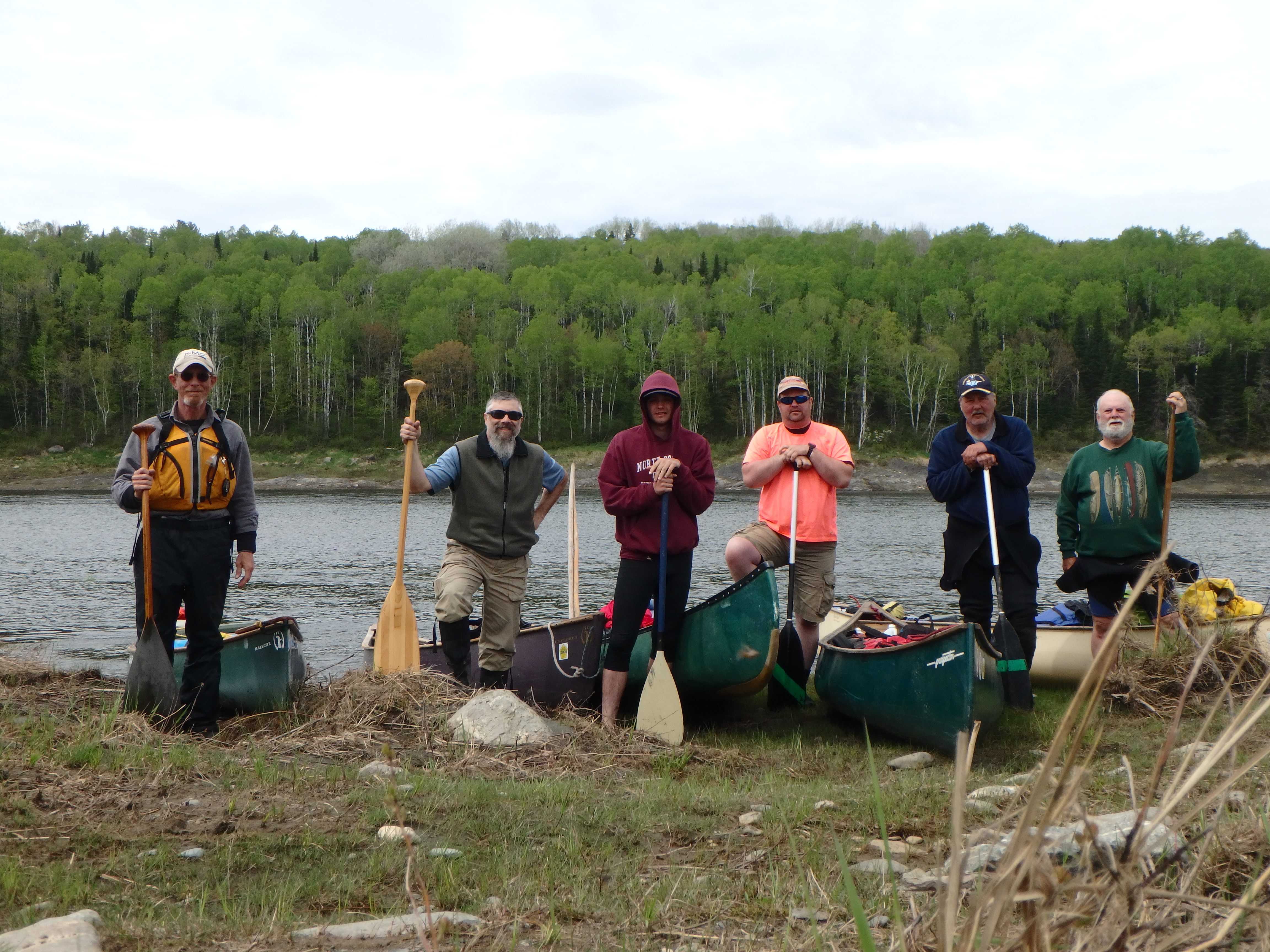
L-R: Doug, Chuck (me), Nick, Kevin, Mike and Jim